
How Aerial Photography Services Transform Imagery
- ESI

- Jan 13
- 4 min read
In recent years, aerial photography has revolutionized the way we capture and view the world. The rise of drone technology has made it possible to obtain stunning images from perspectives that were once difficult or impossible to achieve. This transformation is not just about aesthetics; it impacts industries, security, real estate, and more. I want to share how aerial photography services are changing imagery and why they matter for homeowners, businesses, and government institutions alike.
The Rise of Aerial Photography Services
Aerial photography services have become increasingly accessible and affordable. What used to require helicopters or planes can now be done with drones that are easy to operate and highly maneuverable. This shift has opened new doors for capturing detailed, high-quality images from above.
These services provide a unique vantage point. They allow us to see landscapes, buildings, and events from a bird’s-eye view. This perspective reveals patterns, structures, and details that ground-level photography cannot capture. For example, a homeowner can get a comprehensive view of their property, including the roof and surrounding land, which is useful for maintenance and insurance purposes.
Businesses benefit as well. Real estate agents use aerial shots to showcase properties in their entirety, highlighting features like gardens, pools, and proximity to amenities. Construction companies monitor progress and site conditions efficiently. Government institutions use aerial imagery for urban planning, environmental monitoring, and emergency response.
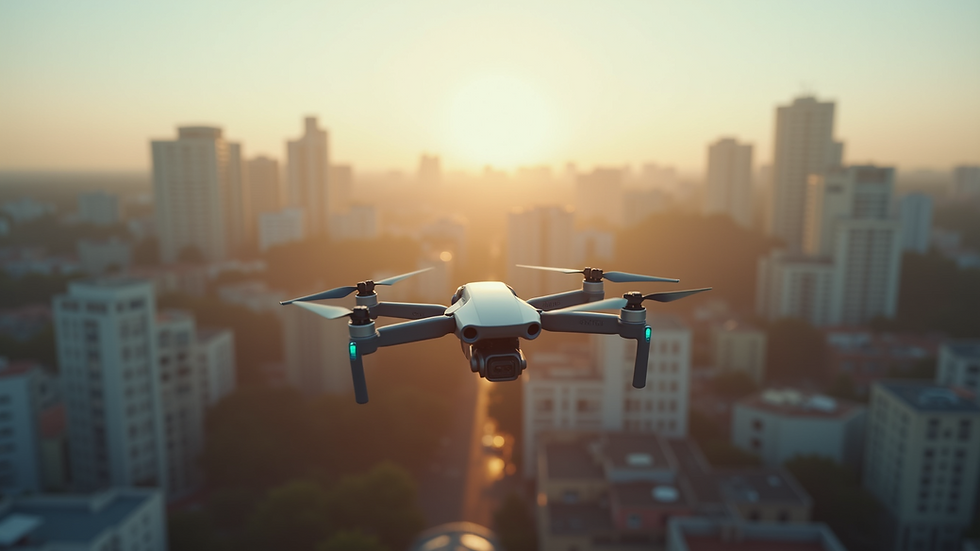
Benefits of Aerial Photography Services for Various Sectors
Aerial photography services offer several practical benefits across different sectors. Here are some key advantages:
Enhanced Visual Information: Aerial images provide comprehensive views that help in better decision-making. For example, a business can assess the layout of a commercial property or a government agency can monitor infrastructure development.
Cost-Effective Data Collection: Compared to traditional methods like manned aircraft, drones reduce costs significantly. They require less fuel, fewer personnel, and less time to deploy.
Improved Safety: Drones can access hard-to-reach or hazardous areas without putting people at risk. This is crucial for inspections of tall structures, power lines, or disaster zones.
Marketing and Promotion: High-quality aerial images and videos enhance marketing materials. They attract more attention and provide a competitive edge in industries like real estate and tourism.
Environmental Monitoring: Aerial photography helps track changes in landscapes, forests, and water bodies. This data supports conservation efforts and policy-making.
These benefits demonstrate why aerial photography services are becoming an essential tool for many organizations.
How much does it cost for drone photos?
Understanding the cost of drone photography is important for planning and budgeting. Prices vary depending on several factors:
Project Scope: The size and complexity of the area to be photographed affect the cost. Larger or more detailed projects require more flight time and post-processing.
Location: Some locations may require special permits or have restrictions that increase costs.
Image Quality and Deliverables: Higher resolution images, 3D mapping, or video footage can add to the price.
Experience and Equipment: Professional operators with advanced drones may charge more but deliver superior results.
On average, basic drone photography services start around $150 to $300 per hour. More complex projects, including aerial mapping or inspections, can range from $500 to $1,500 or more. It is important to get detailed quotes and understand what is included, such as editing, licensing, and travel expenses.
Practical Applications of Drone Photography Services
The practical applications of drone photography services are vast and growing. Here are some specific examples:
Homeowners: Inspecting roofs for damage, assessing landscaping, or documenting property for insurance claims.
Real Estate: Creating compelling listings with aerial views that highlight property size, layout, and surroundings.
Construction: Monitoring site progress, ensuring safety compliance, and documenting work stages.
Agriculture: Surveying crops, identifying irrigation issues, and managing land more efficiently.
Security and Surveillance: Enhancing perimeter security, crowd monitoring, and emergency response coordination.
Environmental Studies: Tracking wildlife habitats, deforestation, and water quality.
Each of these uses benefits from the unique perspective and detailed data that aerial photography provides. The ability to capture images quickly and safely makes drones an indispensable tool.

Choosing the Right Aerial Photography Service Provider
Selecting the right provider is crucial to getting the best results. Here are some tips to consider:
Experience and Credentials: Look for certified operators with a proven track record. Check for licenses and insurance.
Equipment Quality: Ensure the provider uses modern drones with high-resolution cameras and stabilization features.
Portfolio and References: Review past work to assess image quality and style. Ask for client testimonials.
Compliance and Safety: Confirm that the provider follows local regulations and prioritizes safety.
Customization and Support: Choose a service that offers tailored solutions to meet your specific needs and provides clear communication.
By carefully selecting a provider, you can maximize the benefits of aerial photography services and ensure a smooth project experience.
The Future of Aerial Photography and Its Impact
The future of aerial photography is promising. Advances in drone technology, artificial intelligence, and data analytics will continue to enhance image quality and usability. We can expect:
More Automated Flights: AI-powered drones will perform complex tasks with minimal human intervention.
Improved Data Integration: Combining aerial images with other data sources for comprehensive analysis.
Expanded Use Cases: New industries and applications will adopt aerial photography for innovative solutions.
Greater Accessibility: Lower costs and easier operation will make these services available to more users.
As these trends develop, aerial photography services will become even more integral to how we capture and understand our environment.
I encourage you to explore how drone photography services can enhance your projects and operations. The ability to see the bigger picture from above is transforming imagery and providing valuable insights across many fields. Whether for security, marketing, or monitoring, aerial photography offers a powerful tool to meet your needs with precision and clarity.


Comments